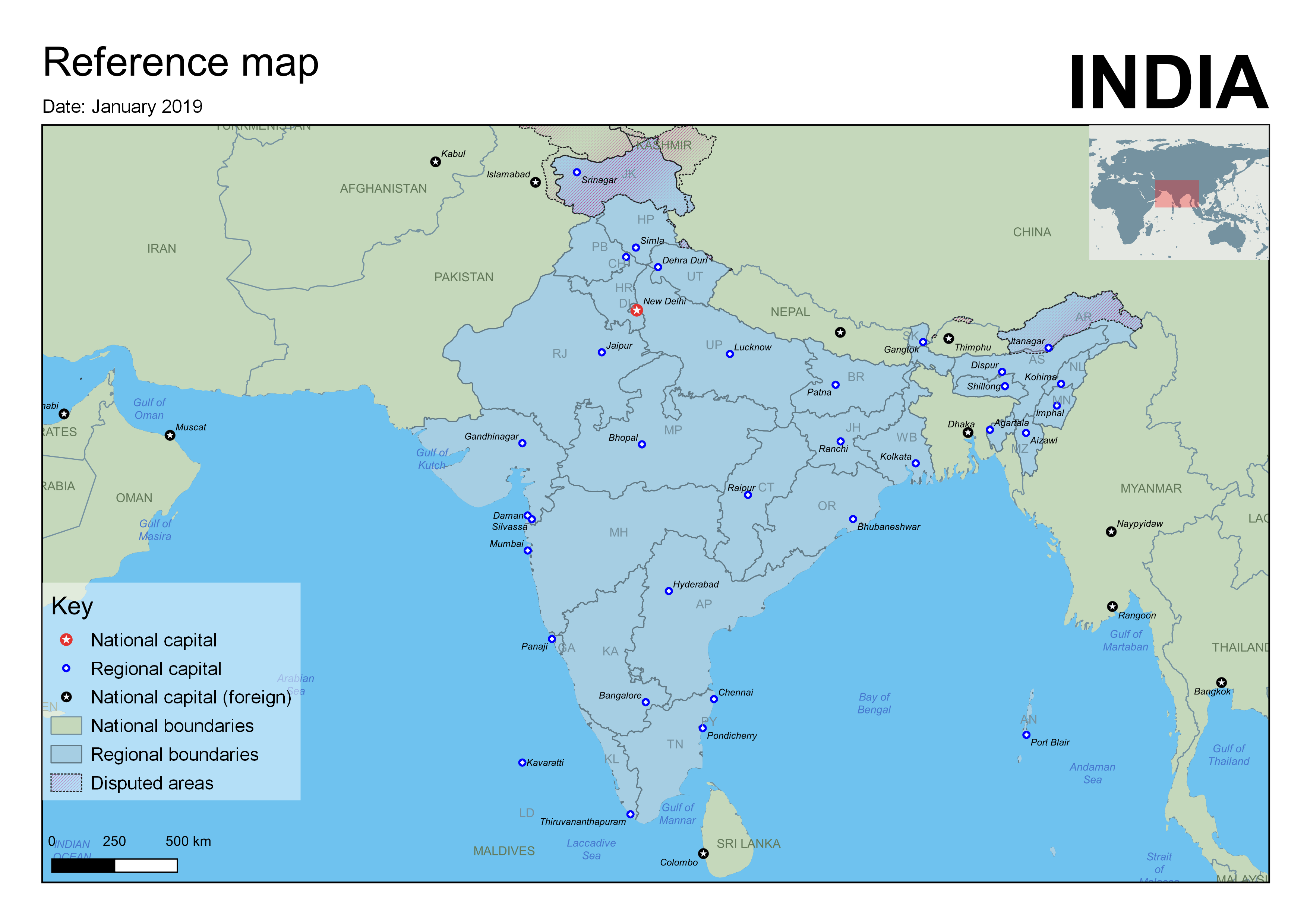
A reference map of India, made using QGIS and Natural Earth data.
Loosely based on a UN reference map. This one shows Kashmir as a disputed region (the original left Kashmir off).
I should really have included a list of the abbreviations used for states, perhaps on the right of the page.