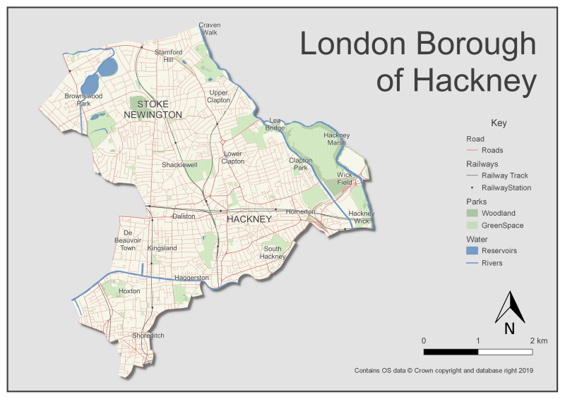
A map I made of Hackney in London, using QGIS and Ordnance Survey open data.
The place names are pulled from the OS data too, although there are some odd choices - I'm not sure you'd include Craven Walk, Wick Field or Brownswood Park if you were using this map for anything - but for the purposes of playing around with QGIS it's fine to leave them in.
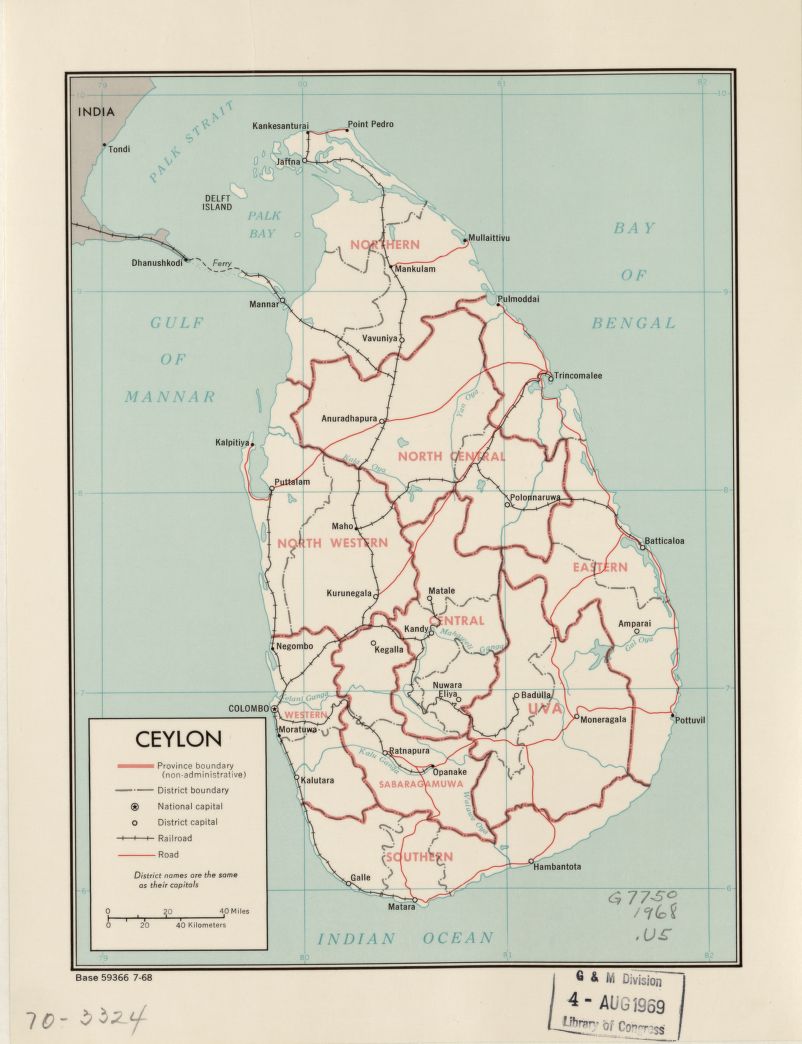
The style is loosely based on a 1970 map of Ceylon I came across on the Library of Congress' online map archive (which is full of cartographic inspiration).